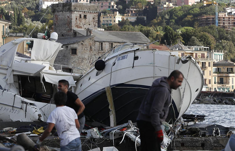
Several European countries have recently experienced worsening weather conditions resulting in the tragic loss of lives.
This month, the European Commission’s Copernicus mapping system has produced satellite maps of affected countries upon request, to help national civil protection authorities across Europe. This includes mapping for floods in Italy, France, Spain as well as forest fires in Greece. “The EU stands ready to provide all help necessary to our Member States. Our Emergency Reponses Coordination Centre in Brussels is closely monitoring the weather conditions across Europe. We are in contact 24/7 with national authorities and ready to provide assistance through the EU Civil Protection Mechanism or our Copernicus satellite system”, said Christos Stylianides, Commissioner for Humanitarian Aid and Crisis Management.